
Ilam Bazar topographic map
Interactive map
Click on the map to display elevation.
About this map
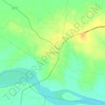
Name: Ilam Bazar topographic map, elevation, terrain.
Average elevation: 190 ft
Minimum elevation: 144 ft
Maximum elevation: 246 ft
Ilambazar is located at 23°38′N 87°32′E / 23.63°N 87.53°E / 23.63; 87.53. It has an average elevation of 54 m (177 ft).