
Alice topographic map
Interactive map
Click on the map to display elevation.
About this map
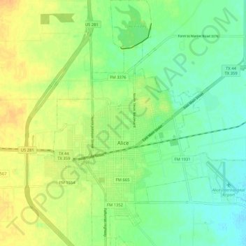
Name: Alice topographic map, elevation, terrain.
Location: Alice, Jim Wells County, Texas, États-Unis d'Amérique (27.71340 -98.10915 27.80590 -98.01716)
Average elevation: 210 ft
Minimum elevation: 164 ft
Maximum elevation: 259 ft