
泾洋街道 topographic map
Interactive map
Click on the map to display elevation.
About this map
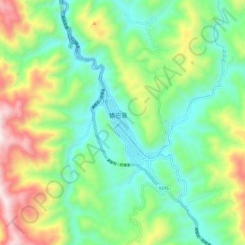
Name: 泾洋街道 topographic map, elevation, terrain.
Location: 泾洋街道, 镇巴县, 汉中市, 陕西省, 中国 (32.49589 107.85285 32.57589 107.93285)
Average elevation: 3,271 ft
Minimum elevation: 2,136 ft
Maximum elevation: 5,610 ft
Other topographic maps
Click on a map to view its topography, its elevation and its terrain.