
Åkrafjorden topographic map
Interactive map
Click on the map to display elevation.
About this map
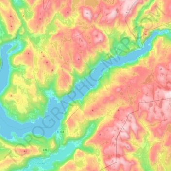
Name: Åkrafjorden topographic map, elevation, terrain.
Location: Åkrafjorden, Skånevik, Etne, Vestland, 5596, Norwegen (59.73363 5.93564 59.87653 6.38618)
Average elevation: 1,955 ft
Minimum elevation: 0 ft
Maximum elevation: 4,580 ft