
Río Cidacos topographic map
Interactive map
Click on the map to display elevation.
About this map
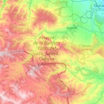
Name: Río Cidacos topographic map, elevation, terrain.
Location: Río Cidacos, Ribera Alta, Soria, La Rioja, 26586, España (41.97329 -2.39686 42.31291 -1.91243)
Average elevation: 3,110 ft
Minimum elevation: 1,014 ft
Maximum elevation: 5,738 ft