
机拉 topographic map
Interactive map
Click on the map to display elevation.
About this map
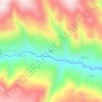
Name: 机拉 topographic map, elevation, terrain.
Location: 机拉, 雪萨乡, 隆子县, 山南市, 西藏自治区, 中国 (28.64072 92.43782 28.68072 92.47782)
Average elevation: 14,760 ft
Minimum elevation: 13,474 ft
Maximum elevation: 16,056 ft