
玛乡 topographic map
Interactive map
Click on the map to display elevation.
About this map
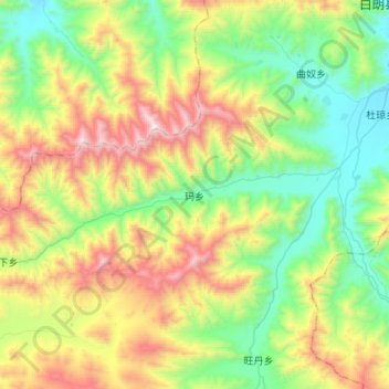
Name: 玛乡 topographic map, elevation, terrain.
Location: 玛乡, 白朗县, 日喀则市, 西藏自治区, 中国 (28.92754 88.96702 29.03922 89.26248)
Average elevation: 14,636 ft
Minimum elevation: 12,844 ft
Maximum elevation: 18,048 ft
Other topographic maps
Click on a map to view its topography, its elevation and its terrain.