
Zemu Glacier topographic map
Interactive map
Click on the map to display elevation.
About this map
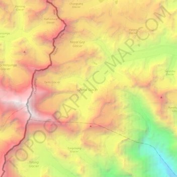
Name: Zemu Glacier topographic map, elevation, terrain.
Location: Zemu Glacier, Chungthang, Mangan District, Sikkim, India (27.67205 88.15984 27.76892 88.38372)
Average elevation: 18,077 ft
Minimum elevation: 7,913 ft
Maximum elevation: 28,173 ft