
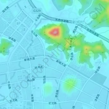
舟山儿童公园 topographic map
Interactive map
Click on the map to display elevation.
About this map
Name: 舟山儿童公园 topographic map, elevation, terrain.
Location: 舟山儿童公园, 舟山群岛新区, 定海区, 舟山市, 浙江省, 中国 (30.00422 122.21010 30.00723 122.21549)
Average elevation: 43 ft
Minimum elevation: 0 ft
Maximum elevation: 476 ft
Other topographic maps
Click on a map to view its topography, its elevation and its terrain.