Le Château d'Eau topographic map
Interactive map
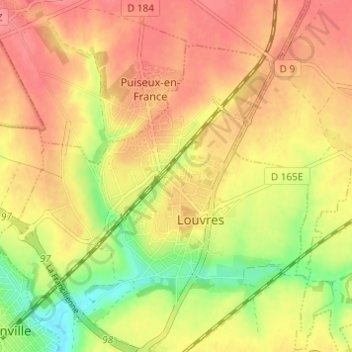
Click on the map to display elevation.
About this map
Name: Le Château d'Eau topographic map, elevation, terrain.
Average elevation: 351 ft
Minimum elevation: 213 ft
Maximum elevation: 436 ft

Click on the map to display elevation.
Name: Le Château d'Eau topographic map, elevation, terrain.
Average elevation: 351 ft
Minimum elevation: 213 ft
Maximum elevation: 436 ft