
叶尔羌河 topographic map
Interactive map
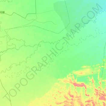
Click on the map to display elevation.
About this map
Name: 叶尔羌河 topographic map, elevation, terrain.
Location: 叶尔羌河, 巴楚县, 喀什地区, 新疆维吾尔自治区, 中国 (39.68330 79.27187 39.88375 79.81990)
Average elevation: 3,570 ft
Minimum elevation: 3,501 ft
Maximum elevation: 3,799 ft
Other topographic maps
Click on a map to view its topography, its elevation and its terrain.