
扶摇村 topographic map
Interactive map
Click on the map to display elevation.
About this map
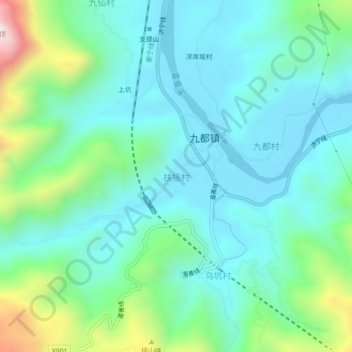
Name: 扶摇村 topographic map, elevation, terrain.
Location: 扶摇村, 蕉城区, 宁德市, 福建省, 中国 (26.78745 119.44318 26.82745 119.48318)
Average elevation: 571 ft
Minimum elevation: 36 ft
Maximum elevation: 2,408 ft
Other topographic maps
Click on a map to view its topography, its elevation and its terrain.