
Amerika-Khaya topographic map
Interactive map
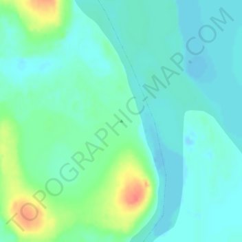
Click on the map to display elevation.
About this map
Name: Amerika-Khaya topographic map, elevation, terrain.
Average elevation: 36 ft
Minimum elevation: -16 ft
Maximum elevation: 154 ft
Other topographic maps
Click on a map to view its topography, its elevation and its terrain.
Учюгей-Килян-Арыта
Russia > Sakha Republic > Bulunsky Ulus
Учюгей-Килян-Арыта, Bykovsky nasleg, Bulunsky Ulus, Sakha Republic, Far Eastern Federal District, Russia
Average elevation: 10 ft