
Tacllapata Churo topographic map
Interactive map
Click on the map to display elevation.
About this map
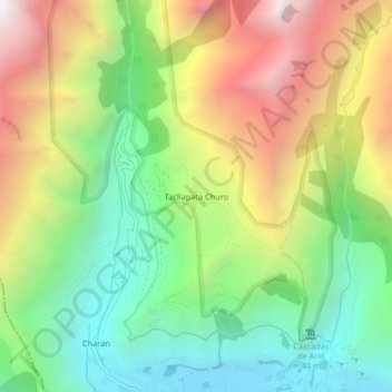
Name: Tacllapata Churo topographic map, elevation, terrain.
Location: Tacllapata Churo, Calca, Cusco, Perú (-13.30815 -72.04243 -13.26815 -72.00243)
Average elevation: 11,913 ft
Minimum elevation: 9,541 ft
Maximum elevation: 15,266 ft
Other topographic maps
Click on a map to view its topography, its elevation and its terrain.