
Marr topographic map
Interactive map
Click on the map to display elevation.
About this map
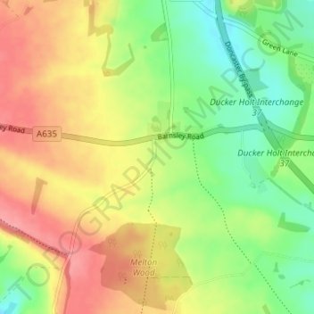
Name: Marr topographic map, elevation, terrain.
Average elevation: 220 ft
Minimum elevation: 89 ft
Maximum elevation: 354 ft
Other topographic maps
Click on a map to view its topography, its elevation and its terrain.
Doncaster
Vereinigtes Königreich > England > Doncaster
Doncaster, Yorkshire and the Humber, England, Vereinigtes Königreich
Average elevation: 102 ft