
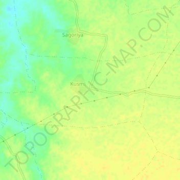
Kusmi topographic map
Interactive map
Click on the map to display elevation.
About this map
Name: Kusmi topographic map, elevation, terrain.
Average elevation: 1,145 ft
Minimum elevation: 1,099 ft
Maximum elevation: 1,168 ft
Other topographic maps
Click on a map to view its topography, its elevation and its terrain.
Chaugan
India > Madhya Pradesh > Gadarwara Tahsil
Chaugan, Gadarwara Tahsil, Narsinghpur District, Madhya Pradesh, India
Average elevation: 1,302 ft