
Roderwolde topographic map
Interactive map
Click on the map to display elevation.
About this map
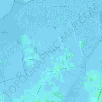
Name: Roderwolde topographic map, elevation, terrain.
Location: Roderwolde, Noordenveld, Drenthe, Nederland (53.16016 6.43978 53.18943 6.49892)
Average elevation: 0 ft
Minimum elevation: -16 ft
Maximum elevation: 16 ft
Other topographic maps
Click on a map to view its topography, its elevation and its terrain.
Peest
Nederland > Drenthe > Noordenveld
Peest, Noordenveld, Drenthe, Nederland
Average elevation: 33 ft
Lieveren
Nederland > Drenthe > Noordenveld
Lieveren, Noordenveld, Drenthe, Nederland
Average elevation: 16 ft
Steenbergen
Nederland > Drenthe > Noordenveld
Steenbergen, Noordenveld, Drenthe, Nederland
Average elevation: 20 ft
Mensinge
Nederland > Drenthe > Noordenveld
Mensinge, Mensingheweg, Roden, Noordenveld, Drenthe, Nederland, 9301 KA, Nederland
Average elevation: 13 ft