Geolocate

Reao topographic map

Click on the map to display elevation.

About this map

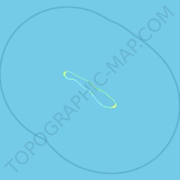
Name: Reao topographic map, elevation, terrain.

Location: Reao, Tuamotu-Gambier, French Polynesia, 98779, France (-18.78035 -136.67447 -18.26174 -136.08302)

Average elevation: 0 ft

Minimum elevation: -3 ft

Maximum elevation: 49 ft

Gear up for your next adventure:

🗺️Topographic Maps - Detailed topo maps for hiking, exploring and outdoor navigation
🪑Ultralight Camp Chairs - Portable seating for resting after a long day of mapping
⛑️Personal Locator Beacon - Safety beacon for emergencies
🧢Outdoor Hiking Hat - Sun protection hat for outdoor explorers
🎒Day Hiking Backpack - Lightweight backpack perfect for day trips and outdoor adventures

As an Amazon Associate, this site earns from qualifying purchases at no extra cost to you.