
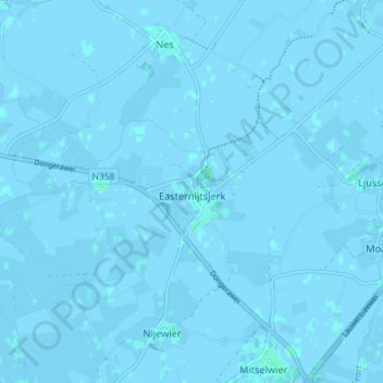
Oosternijkerk topographic map
Interactive map
Click on the map to display elevation.
About this map
Name: Oosternijkerk topographic map, elevation, terrain.
Location: Oosternijkerk, Noardeast-Fryslân, Friesland, Nederland (53.36458 6.01464 53.39417 6.08700)
Average elevation: -3 ft
Minimum elevation: -13 ft
Maximum elevation: 7 ft