
Forth and Clyde Canal Glasgow Spur Towpath topographic map
Interactive map
Click on the map to display elevation.
About this map
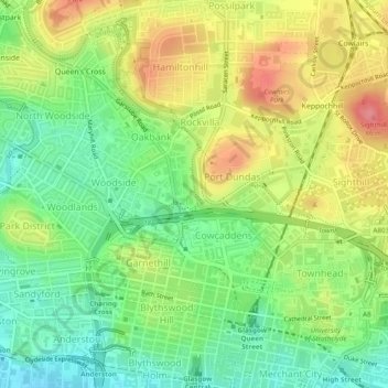
Name: Forth and Clyde Canal Glasgow Spur Towpath topographic map, elevation, terrain.
Average elevation: 141 ft
Minimum elevation: 20 ft
Maximum elevation: 289 ft
Other topographic maps
Click on a map to view its topography, its elevation and its terrain.
Cairnhill Woods
United Kingdom > Scotland > Glasgow City > Glasgow
Cairnhill Woods, Netherton, Glasgow, Glasgow City, Scotland, United Kingdom
Average elevation: 128 ft