
Mesquitela topographic map
Interactive map
Click on the map to display elevation.
About this map
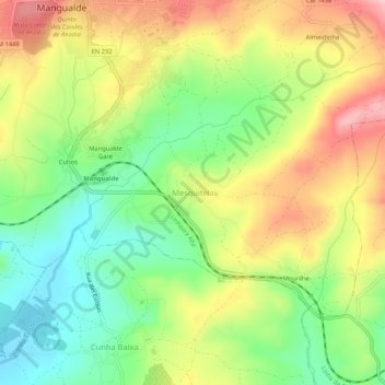
Name: Mesquitela topographic map, elevation, terrain.
Location: Mesquitela, Mangualde, Viseu, 3530-051, Portugal (40.56430 -7.76762 40.60430 -7.72762)
Average elevation: 1,588 ft
Minimum elevation: 1,309 ft
Maximum elevation: 1,926 ft