
Laguna de San Isidro topographic map
Interactive map
Click on the map to display elevation.
About this map
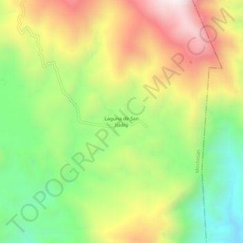
Name: Laguna de San Isidro topographic map, elevation, terrain.
Location: Laguna de San Isidro, Mochitlán, Guerrero, México (17.32944 -99.34485 17.36944 -99.30485)
Average elevation: 5,308 ft
Minimum elevation: 3,865 ft
Maximum elevation: 7,044 ft