
Watchman Island / Te Kākāwhakaara topographic map
Interactive map
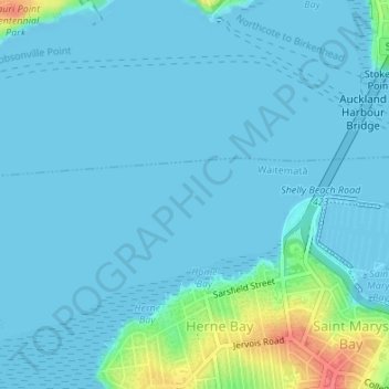
Click on the map to display elevation.
About this map
Name: Watchman Island / Te Kākāwhakaara topographic map, elevation, terrain.
Average elevation: 26 ft
Minimum elevation: -20 ft
Maximum elevation: 200 ft
Other topographic maps
Click on a map to view its topography, its elevation and its terrain.
Auckland Domain
New Zealand > Auckland > Auckland
Auckland Domain, Parnell, Auckland, Waitematā, Auckland, New Zealand
Average elevation: 161 ft
Albert Park
New Zealand > Auckland > Auckland
Albert Park, City Centre, Auckland, Waitematā, Auckland, New Zealand
Average elevation: 105 ft
Constitution Hill
New Zealand > Auckland > Auckland
Constitution Hill, City Centre, Auckland, Waitematā, Auckland, 1053, New Zealand
Average elevation: 102 ft