
Lutterbeck topographic map
Interactive map
Click on the map to display elevation.
About this map
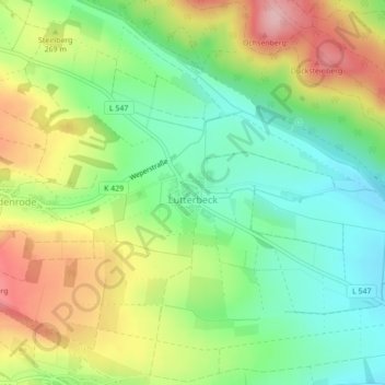
Name: Lutterbeck topographic map, elevation, terrain.
Average elevation: 886 ft
Minimum elevation: 646 ft
Maximum elevation: 1,227 ft
Other topographic maps
Click on a map to view its topography, its elevation and its terrain.
Fredelsloh
Deutschland > Niedersachsen > Landkreis Northeim > Moringen
Fredelsloh, Moringen, Landkreis Northeim, Niedersachsen, 37186, Deutschland
Average elevation: 984 ft