
Marshalls Creek topographic map
Interactive map
Click on the map to display elevation.
About this map
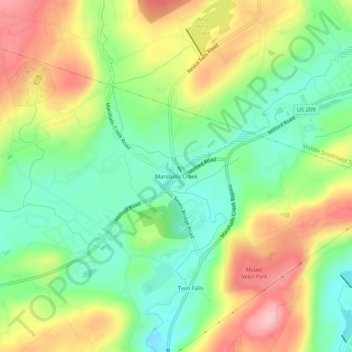
Name: Marshalls Creek topographic map, elevation, terrain.
Average elevation: 610 ft
Minimum elevation: 390 ft
Maximum elevation: 909 ft
Other topographic maps
Click on a map to view its topography, its elevation and its terrain.
Shawnee on Delaware
United States > Pennsylvania > Monroe County > Smithfield Township
Shawnee on Delaware, Smithfield Township, Monroe County, Pennsylvania, 18356, United States
Average elevation: 617 ft