
Nqamakwe River topographic map
Interactive map
Click on the map to display elevation.
About this map
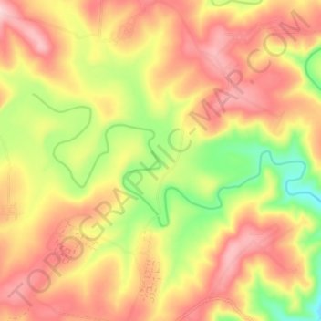
Name: Nqamakwe River topographic map, elevation, terrain.
Average elevation: 2,503 ft
Minimum elevation: 2,096 ft
Maximum elevation: 2,815 ft
Other topographic maps
Click on a map to view its topography, its elevation and its terrain.
Gcuwa River
South Africa > Eastern Cape > Amathole District Municipality > Mnquma Local Municipality > Butterworth
Gcuwa River, Mnquma Ward 1, Butterworth, Mnquma Local Municipality, Amathole District Municipality, Eastern Cape, 4960, South Africa
Average elevation: 1,854 ft
Butterworth
South Africa > Eastern Cape > Amathole District Municipality > Mnquma Local Municipality
Butterworth, Mnquma Local Municipality, Amathole District Municipality, Eastern Cape, 4960, South Africa
Average elevation: 1,975 ft