
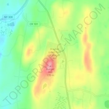
Drayton Grant Park at Burger Hill topographic map
Interactive map
Click on the map to display elevation.
About this map
Name: Drayton Grant Park at Burger Hill topographic map, elevation, terrain.
Average elevation: 335 ft
Minimum elevation: 177 ft
Maximum elevation: 541 ft
Other topographic maps
Click on a map to view its topography, its elevation and its terrain.
Rhinecliff
United States > New York > Dutchess County > Town of Rhinebeck
Rhinecliff, Town of Rhinebeck, Dutchess County, New York, 12574, United States
Average elevation: 62 ft