
瑶湖 topographic map
Interactive map
Click on the map to display elevation.
About this map
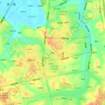
Name: 瑶湖 topographic map, elevation, terrain.
Location: 瑶湖, 太窝乡, 赣州经济技术开发区, 中边村, 南康区, 赣州市, 江西省, 341409, 中国 (25.75251 114.73432 25.79251 114.77432)
Average elevation: 443 ft
Minimum elevation: 354 ft
Maximum elevation: 541 ft