
Quinta topographic map
Interactive map
Click on the map to display elevation.
About this map
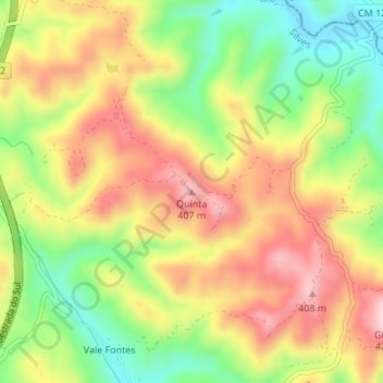
Name: Quinta topographic map, elevation, terrain.
Location: Quinta, São Bartolomeu de Messines, Silves, Faro, Portugal (37.35637 -8.24124 37.35647 -8.24114)
Average elevation: 951 ft
Minimum elevation: 561 ft
Maximum elevation: 1,319 ft