
Wolterslage topographic map
Interactive map
Click on the map to display elevation.
About this map
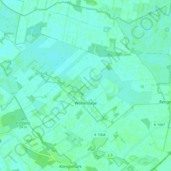
Name: Wolterslage topographic map, elevation, terrain.
Average elevation: 75 ft
Minimum elevation: 66 ft
Maximum elevation: 92 ft
Other topographic maps
Click on a map to view its topography, its elevation and its terrain.
Rengerslage
Deutschland > Sachsen-Anhalt > Stendal > Osterburg (Altmark)
Rengerslage, Königsmark, Osterburg (Altmark), Stendal, Sachsen-Anhalt, Deutschland
Average elevation: 79 ft
Donnerberg
Deutschland > Sachsen-Anhalt > Stendal > Osterburg (Altmark)
Donnerberg, Osterburg (Altmark), Stendal, Sachsen-Anhalt, 39606, Deutschland
Average elevation: 85 ft