
Wagnersfehn topographic map
Interactive map
Click on the map to display elevation.
About this map
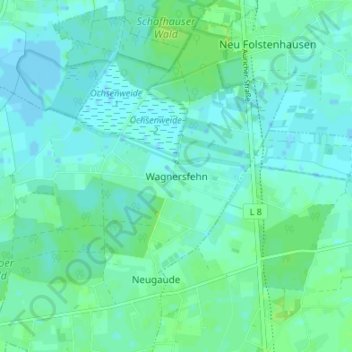
Name: Wagnersfehn topographic map, elevation, terrain.
Average elevation: 13 ft
Minimum elevation: -10 ft
Maximum elevation: 30 ft
Other topographic maps
Click on a map to view its topography, its elevation and its terrain.
Westerschoo
Deutschland > Niedersachsen > Landkreis Wittmund > Moorweg
Westerschoo, Moorweg, Samtgemeinde Esens, Landkreis Wittmund, Niedersachsen, 26487, Deutschland
Average elevation: 16 ft