
曹坊 topographic map
Interactive map
Click on the map to display elevation.
About this map
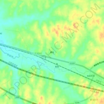
Name: 曹坊 topographic map, elevation, terrain.
Location: 曹坊, 瓦子坡村, 下埠集镇, 进贤县, 南昌市, 江西省, 中国 (28.27921 116.40864 28.31921 116.44864)
Average elevation: 128 ft
Minimum elevation: 69 ft
Maximum elevation: 190 ft