
Kandukuru topographic map
Interactive map
Click on the map to display elevation.
About this map
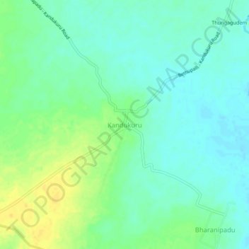
Name: Kandukuru topographic map, elevation, terrain.
Location: Kandukuru, Vemsoor mandal, Khammam District, Telangana, India (17.05806 80.82146 17.09806 80.86146)
Average elevation: 449 ft
Minimum elevation: 420 ft
Maximum elevation: 499 ft