
South Whitley topographic map
Interactive map
Click on the map to display elevation.
About this map
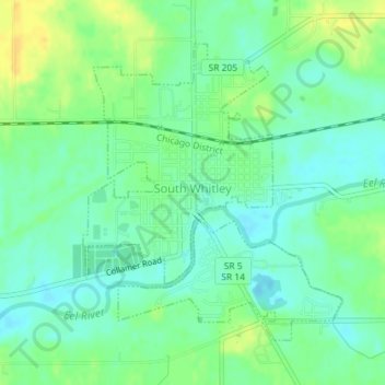
Name: South Whitley topographic map, elevation, terrain.
Location: South Whitley, Whitley County, Indiana, 46787, United States (41.07404 -85.63826 41.09491 -85.61413)
Average elevation: 814 ft
Minimum elevation: 781 ft
Maximum elevation: 860 ft
Other topographic maps
Click on a map to view its topography, its elevation and its terrain.
Larwill
United States > Indiana > Whitley County
Larwill, Whitley County, Indiana, United States
Average elevation: 945 ft
Etna
United States > Indiana > Whitley County
Etna, Whitley County, Indiana, United States
Average elevation: 932 ft
Columbia City
United States > Indiana > Whitley County
Columbia City, Whitley County, Indiana, 46725, United States
Average elevation: 856 ft