
Mase topographic map
Interactive map
Click on the map to display elevation.
About this map
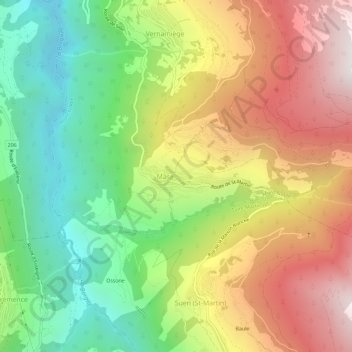
Name: Mase topographic map, elevation, terrain.
Location: Mase, Hérens, Vallés, 1968, Suiza (46.17476 7.41324 46.21476 7.45324)
Average elevation: 4,255 ft
Minimum elevation: 1,890 ft
Maximum elevation: 7,067 ft