
Parc Naturel Haute-Sûre Forêt d'Anlier topographic map
Interactive map
Click on the map to display elevation.
About this map
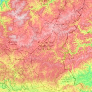
Name: Parc Naturel Haute-Sûre Forêt d'Anlier topographic map, elevation, terrain.
Average elevation: 1,427 ft
Minimum elevation: 722 ft
Maximum elevation: 1,936 ft