
Kantabanji topographic map
Interactive map
Click on the map to display elevation.
About this map
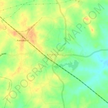
Name: Kantabanji topographic map, elevation, terrain.
Location: Kantabanji, Balāngīr, Balangir, Odisha, 767039, India (20.44769 82.89968 20.48769 82.93968)
Average elevation: 951 ft
Minimum elevation: 892 ft
Maximum elevation: 1,001 ft