
Eildon topographic map
Interactive map
Click on the map to display elevation.
About this map
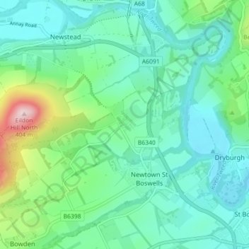
Name: Eildon topographic map, elevation, terrain.
Location: Eildon, Scottish Borders, Scotland, TD6 9HH, United Kingdom (55.56563 -2.69938 55.60563 -2.65938)
Average elevation: 449 ft
Minimum elevation: 213 ft
Maximum elevation: 1,293 ft