
Sládkovičovo topographic map
Interactive map
Click on the map to display elevation.
About this map
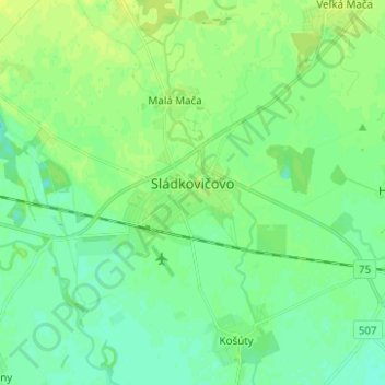
Name: Sládkovičovo topographic map, elevation, terrain.
Average elevation: 394 ft
Minimum elevation: 374 ft
Maximum elevation: 417 ft
Other topographic maps
Click on a map to view its topography, its elevation and its terrain.
Šintava
Slovakia > Region of Trnava > District of Galanta
Šintava, District of Galanta, Region of Trnava, Western Slovakia, 925 51, Slovakia
Average elevation: 453 ft
Sereď
Slovakia > Region of Trnava > District of Galanta
Sereď, District of Galanta, Region of Trnava, Western Slovakia, 926 01, Slovakia
Average elevation: 433 ft