
Baghi topographic map
Interactive map
Click on the map to display elevation.
About this map
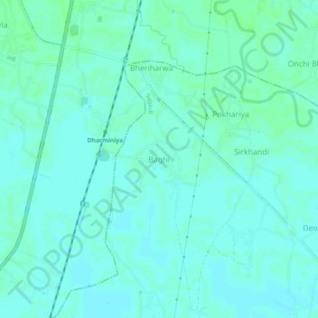
Name: Baghi topographic map, elevation, terrain.
Location: Baghi, Pūrba Champāran, Purba Champaran, Bihar, India (26.80629 84.76752 26.84629 84.80752)
Average elevation: 230 ft
Minimum elevation: 220 ft
Maximum elevation: 240 ft