
Foster Brook topographic map
Interactive map
Click on the map to display elevation.
About this map
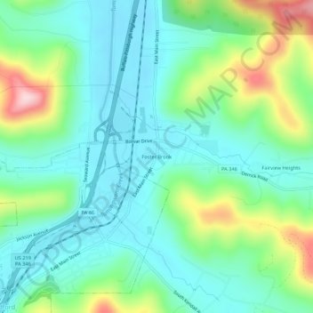
Name: Foster Brook topographic map, elevation, terrain.
Average elevation: 1,627 ft
Minimum elevation: 1,398 ft
Maximum elevation: 2,251 ft
Other topographic maps
Click on a map to view its topography, its elevation and its terrain.
Red Rock
United States > Pennsylvania > McKean County > Foster Township > Red Rock
Red Rock, Foster Township, McKean County, Pennsylvania, 16727, United States
Average elevation: 1,959 ft