
ÖBB topographic map
Interactive map
Click on the map to display elevation.
About this map
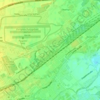
Name: ÖBB topographic map, elevation, terrain.
Location: ÖBB, Pernau, Wels, 4600, Österreich (48.17713 14.04812 48.17820 14.05020)
Average elevation: 1,033 ft
Minimum elevation: 991 ft
Maximum elevation: 1,063 ft