
La Manga topographic map
Interactive map
Click on the map to display elevation.
About this map
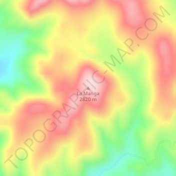
Name: La Manga topographic map, elevation, terrain.
Location: La Manga, Guerrero, Chihuahua, Mexico (28.15865 -107.74120 28.15875 -107.74110)
Average elevation: 8,822 ft
Minimum elevation: 8,291 ft
Maximum elevation: 9,242 ft