
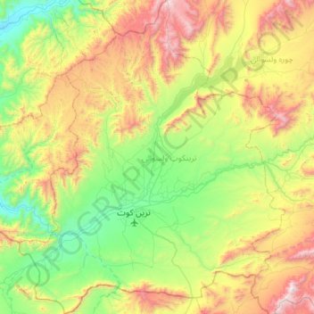
Tarinkot topographic map
Interactive map
Click on the map to display elevation.
About this map
Name: Tarinkot topographic map, elevation, terrain.
Location: Tarinkot, Uruzgan Province, Afghanistan (32.44531 65.63293 32.98734 66.17959)
Average elevation: 5,784 ft
Minimum elevation: 3,675 ft
Maximum elevation: 9,961 ft