
Ain Ouarka topographic map
Interactive map
Click on the map to display elevation.
About this map
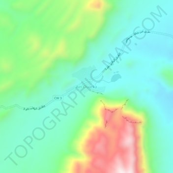
Name: Ain Ouarka topographic map, elevation, terrain.
Location: Ain Ouarka, Assela, daïra Assela, Naâma, Algérie (32.71208 -0.17689 32.75208 -0.13689)
Average elevation: 3,839 ft
Minimum elevation: 3,264 ft
Maximum elevation: 5,213 ft