
Nevado Huila Aje topographic map
Interactive map
Click on the map to display elevation.
About this map
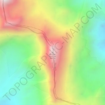
Name: Nevado Huila Aje topographic map, elevation, terrain.
Location: Nevado Huila Aje, Pitumarca, Canchis, Cusco, Peru (-13.78478 -70.96996 -13.78468 -70.96986)
Average elevation: 17,694 ft
Minimum elevation: 16,309 ft
Maximum elevation: 19,324 ft