
El Astillero topographic map
Interactive map
Click on the map to display elevation.
About this map
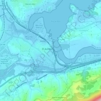
Name: El Astillero topographic map, elevation, terrain.
Location: El Astillero, Santander, Cantabria, Cantábria, Espanha (43.38602 -3.86107 43.41319 -3.80851)
Average elevation: 85 ft
Minimum elevation: -16 ft
Maximum elevation: 896 ft