
Les Trieux topographic map
Interactive map
Click on the map to display elevation.
About this map
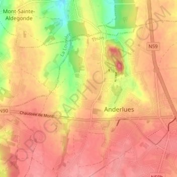
Name: Les Trieux topographic map, elevation, terrain.
Location: Les Trieux, Anderlues, Thuin, Hainaut, Wallonie, 6150, Belgique (50.39266 4.23877 50.43266 4.27877)
Average elevation: 571 ft
Minimum elevation: 371 ft
Maximum elevation: 669 ft
Other topographic maps
Click on a map to view its topography, its elevation and its terrain.
L'Arbiette
Belgique > Hainaut > Thuin > Anderlues
L'Arbiette, Anderlues, Thuin, Hainaut, Wallonie, 6150, Belgique
Average elevation: 571 ft