
带河 topographic map
Interactive map
Click on the map to display elevation.
About this map
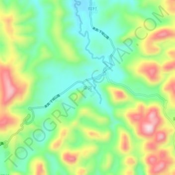
Name: 带河 topographic map, elevation, terrain.
Location: 带河, 河池市, 都安瑶族自治县, 广西壮族自治区, 中国 (24.28635 107.98975 24.32635 108.02975)
Average elevation: 1,076 ft
Minimum elevation: 610 ft
Maximum elevation: 1,801 ft