
Make a donation
Gear up for your next adventure:
As an Amazon Associate, this site earns from qualifying purchases at no extra cost to you.
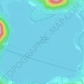
Lake Vico topographic map
Click on the map to display elevation.
Make a donation
Gear up for your next adventure:
As an Amazon Associate, this site earns from qualifying purchases at no extra cost to you.
Lake Vico
Lake Vico (Italian: Lago di Vico) is a caldera lake in the northern Lazio region, central Italy. It is one of the highest major Italian lakes, with an altitude of 510 m. Administratively, it is part of the municipalities of Caprarola and Ronciglione.
Make a donation
Gear up for your next adventure:
As an Amazon Associate, this site earns from qualifying purchases at no extra cost to you.
About this map
Name: Lake Vico topographic map, elevation, terrain.
Location: Lake Vico, Caprarola, Viterbo, Lazio, Italy (42.30106 12.14857 42.33993 12.20074)
Average elevation: 1,706 ft
Minimum elevation: 1,654 ft
Maximum elevation: 2,602 ft
Make a donation
Gear up for your next adventure:
As an Amazon Associate, this site earns from qualifying purchases at no extra cost to you.